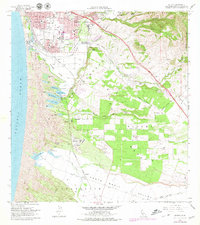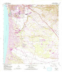
1965 Map of Oceano
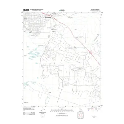
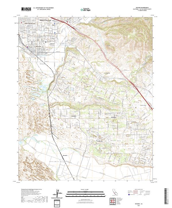
USGS Topo · Published 1994About this map
The coastal dunes of Pismo Dunes State Vehicular Recreation Area dominate the western edge of this landscape, separating the Pacific Ocean from a chain of freshwater bodies including Black Lake and Oso Flaco Lake. Inland, the economy of the mid-1960s is evidenced by the presence of an Oil Refinery near Callender and the Southern Pacific railroad line connecting the communities of Grover Beach, Oceano, and Halcyon. Residential growth is visible through multiple mobile home parks and the established streets of Arroyo Grande. Significant terrain features like the Nipomo Mesa and Newsom Ridge overlook the fertile Cienega Valley, while local landmarks such as the Halcyon Cemetery and Black Lake Golf Course provide specific points of interest for local history and genealogical research.
Find a feature on this map
60 named features on this map. Tap any name to fly to it.
Don’t see what you’re looking for? This feature index may not catch every label — zoom into the map to look around manually.
Map Details
Editions of this 1965 Oceano Map
2 editions found
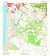
Historical Maps of Arroyo Grande Through Time
6 maps found