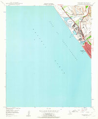
1947 Map of Oceanside
USGS Topo · Published 1962About this map
Camp Pendleton Naval Reservation dominates the northern coastal landscape of this late 1940s survey, illustrating a critical period of military expansion and suburban growth along the Gulf of Santa Catalina. The infrastructure of the Atchison Topeka and Santa Fe Railway runs parallel to the Coast Highway, connecting the established settlement of Oceanside with points north through Fallbrook Junc.
Find a feature on this map
20 named features on this map. Tap any name to fly to it.
Don’t see what you’re looking for? This feature index may not catch every label — zoom into the map to look around manually.
Map Details
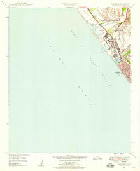
Editions of this 1947 Oceanside Map
2 editions found
Other maps of this area

1893 · Oceanside
USGS Topo · 1:62,500

1898 · Oceanside
USGS Topo · 1:62,500

1901 · Oceanside
USGS Topo · 1:62,500

1901 · San Luis Rey
USGS Topo · 1:125,000

1902 · Capistrano
USGS Topo · 1:125,000

1904 · Southern California Sheet No. 2
USGS Topo · 1:250,000

1906 · Capistrano
USGS Topo · 1:125,000

1941 · Margarita Peak
USGS Topo · 1:62,500

1942 · Margarita Peak
USGS Topo · 1:62,500

1942 · San Juan Capistrano
USGS Topo · 1:62,500