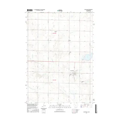
2015 Map of Ocheyedan
USGS Topo · Published 2015About this map
Ocheyedan stands as the primary hub of this northwestern Iowa landscape, situated along the Ocheyedan River just south of the Minnesota border. The topography is defined by the Coteau des Prairies, a high glacial plateau that rises above the surrounding plains. A prominent landmark is the Ocheyedan Mound, once considered the highest point in Iowa, which overlooks the drainage of the Rush Lake-Outlet and Sutton Lake-Marsh.
Find a feature on this map
44 named features on this map. Tap any name to fly to it.
Don’t see what you’re looking for? This feature index may not catch every label — zoom into the map to look around manually.
Map Details
Editions of this 2015 Ocheyedan Map
This is the sole edition of this map. No revisions or reprints were ever made.
Other maps of this area
1954 · Fairmont
USGS Topo · 1:250,000
1958 · Fairmont
USGS Topo · 1:250,000
1960 · Bigelow
USGS Topo · 1:24,000
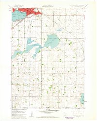
1960 · Worthington South
USGS Topo · 1:24,000
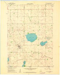
1960 · Round Lake
USGS Topo · 1:24,000
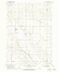
1970 · May City
USGS Topo · 1:24,000
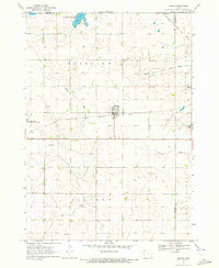
1970 · Harris
USGS Topo · 1:24,000
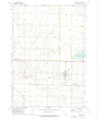
1972 · Ocheyedan
USGS Topo · 1:24,000
1972 · Cloverdale
USGS Topo · 1:24,000
1972 · Sibley East
USGS Topo · 1:24,000