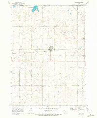
1970 Map of Harris
USGS Topo · Published 1972About this map
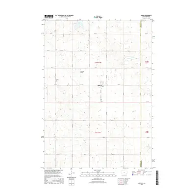
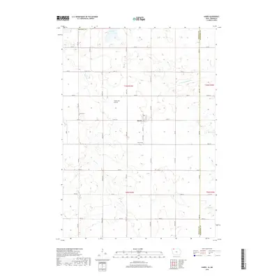
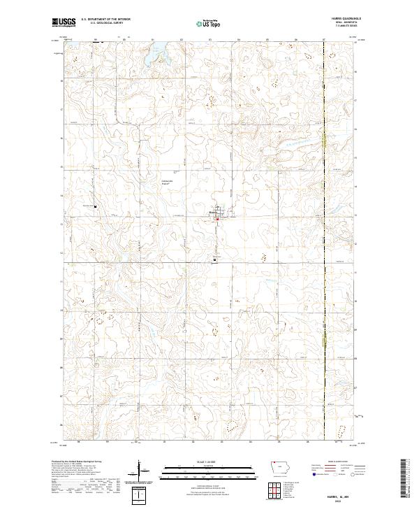
The town of Harris serves as the central hub of this northern Iowa agricultural landscape, situated along the Chicago Rock Island and Pacific railroad line. The surrounding prairie is defined by a complex network of water management and natural drainage, including the West Branch Little Sioux River and several drainage projects like Judicial Ditch No 64. These features reveal the ongoing efforts to reconcile intensive farming with the region's natural wetlands and erratic watercourses like Dry Run.
Find a feature on this map
22 named features on this map. Tap any name to fly to it.
Don’t see what you’re looking for? This feature index may not catch every label — zoom into the map to look around manually.
Map Details
Editions of this 1970 Harris Map
This is the sole edition of this map. No revisions or reprints were ever made.
Historical Maps of Harris Through Time
6 maps found