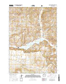
2017 Map of Ochoco Reservoir
USGS Topo · Published 2017About this map
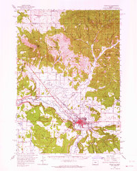
Ochoco Reservoir dominates the center of this landscape, its waters impounded by a dam where Ochoco Creek flows west. The reservoir is surrounded by a network of drainage systems including Mill Creek, Polly Creek, and Lawson Creek, which carve through the high terrain of the Ochoco Mountains. This map reflects the dual priorities of the area: the Ochoco Reservoir Public Fishing Area and the Ochoco National Forest manage the natural resources, while the presence of Mill Creek Cem near Lawson Road points to the long-standing community presence in these hills.
Find a feature on this map
27 named features on this map. Tap any name to fly to it.
Don’t see what you’re looking for? This feature index may not catch every label — zoom into the map to look around manually.
Map Details
Editions of this 2017 Ochoco Reservoir Map
This is the sole edition of this map. No revisions or reprints were ever made.
Other maps of this area
1946 · Eagle Rock
USGS Topo · 1:62,500
1948 · Eagle Rock
USGS Topo · 1:62,500
1948 · Ochoco Reservoir
USGS Topo · 1:62,500
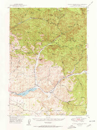
1950 · Ochoco Reservoir
USGS Topo · 1:62,500

1955 · Bend
USGS Topo · 1:250,000

1957 · Bend
USGS Topo · 1:250,000
1958 · Bend
USGS Topo · 1:250,000
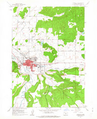
1962 · Prineville
USGS Topo · 1:24,000
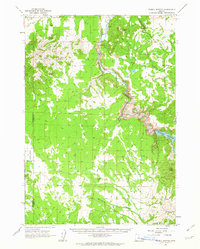
1962 · Powell Buttes
USGS Topo · 1:62,500
1962 · Prineville
USGS Topo · 1:62,500