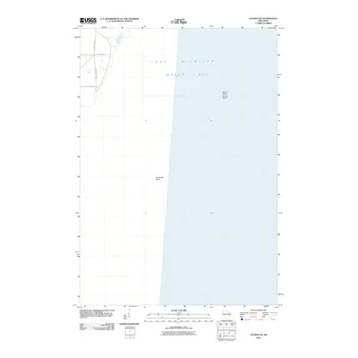
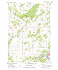
2010 Map of Oconto SE
USGS Topo · Published 2010About this map
Lake Michigan and the waters of Green Bay dominate this coastal survey, where the seafloor topography reveals significant underwater features including Oconto Shoal and Pensaukee Shoal. The shoreline is characterized by a sparse network of local roads that provide access to the water's edge, notably Pecor Point Ln and Frog Pond Rd. This chart emphasizes the maritime environment of the Oconto region, focusing on the interface between the low-lying coastal terrain and the shallow bay. The road structure, including County Hwy-Rd S, suggests a landscape primarily dedicated to shoreline residences and lake access, maintaining its character into the early 21st century.
Find a feature on this map
9 named features on this map. Tap any name to fly to it.
Don’t see what you’re looking for? This feature index may not catch every label — zoom into the map to look around manually.
Map Details
Editions of this 2010 Oconto SE Map
This is the sole edition of this map. No revisions or reprints were ever made.
Other maps of this area

1952 · Casco
USGS Topo · 1:62,500

1954 · New Franken
USGS Topo · 1:62,500

1954 · Manitowoc
USGS Topo · 1:250,000

1956 · Oconto
USGS Topo · 1:62,500

1958 · Manitowoc
USGS Topo · 1:250,000

1961 · Little Sturgeon
USGS Topo · 1:62,500
1974 · Oconto East
USGS Topo · 1:24,000
1974 · Pensaukee
USGS Topo · 1:24,000
1974 · Oconto SE
USGS Topo · 1:24,000
1974 · Oconto West
USGS Topo · 1:24,000