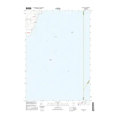
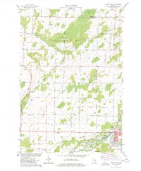
2015 Map of Oconto SE
USGS Topo · Published 2015About this map
Lake Michigan dominates this coastal survey, where the waters of Green Bay meet the shoreline of northeastern Wisconsin. The southeastern corner of Oconto appears in the upper-left quadrant, marking a transition from the town's grid to the wetland and coastal margins. Navigational features are prominent beneath the surface of the bay, including the expansive Oconto Shoal and Pensaukee Shoal, which indicate the shifting bathymetry of this maritime corridor. On land, a network of local roads such as Frog Pond Rd and Co Hwy S provides access to the coastal area. The map also delineates several significant administrative boundaries in the open water, where the limits of Oconto, Marinette, and Door Counties converge, illustrating the complex jurisdictional divisions of the bay.
Find a feature on this map
15 named features on this map. Tap any name to fly to it.
Don’t see what you’re looking for? This feature index may not catch every label — zoom into the map to look around manually.
Map Details
Editions of this 2015 Oconto SE Map
This is the sole edition of this map. No revisions or reprints were ever made.
Other maps of this area

1952 · Casco
USGS Topo · 1:62,500

1954 · New Franken
USGS Topo · 1:62,500

1954 · Manitowoc
USGS Topo · 1:250,000

1956 · Oconto
USGS Topo · 1:62,500

1958 · Manitowoc
USGS Topo · 1:250,000

1961 · Little Sturgeon
USGS Topo · 1:62,500
1974 · Oconto East
USGS Topo · 1:24,000
1974 · Pensaukee
USGS Topo · 1:24,000
1974 · Oconto SE
USGS Topo · 1:24,000
1974 · Oconto West
USGS Topo · 1:24,000