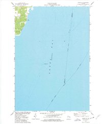
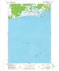
1974 Map of Oconto SE
USGS Topo · Published 1977About this map
Green Bay dominates the geography of this mid-1970s coastal survey, illustrating the maritime character of the Wisconsin shoreline where Oconto and Pensaukee meet the water. The map provides significant underwater detail, tracing the shifting floor of the bay with soundings and identifying hazards such as Pensaukee Shoal and Oconto Shoal. These features highlight the importance of navigation for the local fishing and recreation economies during this era.
Find a feature on this map
11 named features on this map. Tap any name to fly to it.
Don’t see what you’re looking for? This feature index may not catch every label — zoom into the map to look around manually.
Map Details
Editions of this 1974 Oconto SE Map
This is the sole edition of this map. No revisions or reprints were ever made.
Other maps of this area

1952 · Casco
USGS Topo · 1:62,500

1954 · New Franken
USGS Topo · 1:62,500

1954 · Manitowoc
USGS Topo · 1:250,000

1956 · Oconto
USGS Topo · 1:62,500

1958 · Manitowoc
USGS Topo · 1:250,000

1961 · Little Sturgeon
USGS Topo · 1:62,500
1974 · Oconto East
USGS Topo · 1:24,000
1974 · Pensaukee
USGS Topo · 1:24,000
1974 · Oconto West
USGS Topo · 1:24,000
1974 · Peshtigo Harbor
USGS Topo · 1:24,000