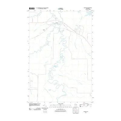
2010 Map of Odanah
USGS Topo · Published 2010About this map
Odanah stands as the primary hub of activity in this northern Wisconsin river landscape, situated where the Bad River and Kakagon River converge before meeting the marshes of Lake Superior. The settlement is defined by its complex waterway network, including the winding course of the White River and the numerous smaller tributaries like Beartrap Creek and Denomie Creek that drain the surrounding lowlands. This survey illustrates the intricate relationship between the community and its hydrology, where roads such as Odanah Rd and County Hwy-A must navigate around expansive wetlands and lakes.
Find a feature on this map
29 named features on this map. Tap any name to fly to it.
Don’t see what you’re looking for? This feature index may not catch every label — zoom into the map to look around manually.
Map Details
Editions of this 2010 Odanah Map
This is the sole edition of this map. No revisions or reprints were ever made.
Other maps of this area

1942 · Ashland
USGS Topo · 1:48,000

1942 · Mellen
USGS Topo · 1:48,000

1942 · Marengo
USGS Topo · 1:48,000

1943 · Odanah
USGS Topo · 1:48,000

1945 · Odanah
USGS Topo · 1:48,000

1945 · Marengo
USGS Topo · 1:48,000

1945 · Mellen
USGS Topo · 1:48,000

1947 · Ashland
USGS Topo · 1:48,000

1953 · Ashland
USGS Topo · 1:250,000

1958 · Ashland
USGS Topo · 1:250,000