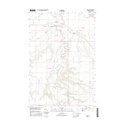
2015 Map of Odanah
USGS Topo · Published 2015About this map
Odanah and its neighboring settlements of Diaperville and New Odanah serve as the focal points for this study of the Bad River Reservation landscape. The geography is defined by a complex network of waterways, where the Kakagon River and the White River converge toward the winding Bad River as it approaches its outlet at Lake Superior. This area is characterized by low-lying wetlands and notable water bodies such as Bad River Slough and Hanson Swamp, illustrating the hydrological importance of the region.
Find a feature on this map
44 named features on this map. Tap any name to fly to it.
Don’t see what you’re looking for? This feature index may not catch every label — zoom into the map to look around manually.
Map Details
Editions of this 2015 Odanah Map
This is the sole edition of this map. No revisions or reprints were ever made.
Other maps of this area

1942 · Ashland
USGS Topo · 1:48,000

1942 · Mellen
USGS Topo · 1:48,000

1942 · Marengo
USGS Topo · 1:48,000

1943 · Odanah
USGS Topo · 1:48,000

1945 · Odanah
USGS Topo · 1:48,000

1945 · Marengo
USGS Topo · 1:48,000

1945 · Mellen
USGS Topo · 1:48,000

1947 · Ashland
USGS Topo · 1:48,000

1953 · Ashland
USGS Topo · 1:250,000

1958 · Ashland
USGS Topo · 1:250,000