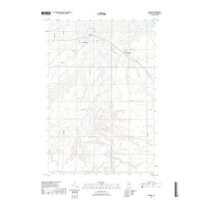
2018 Map of Odanah
USGS Topo · Published 2018About this map
The confluence of the Bad River and White River anchors this study of the Odanah region in northern Wisconsin. The landscape is defined by its complex hydrology, featuring numerous named waterways such as Kakagon River, Beartrap Creek, and the expansive Hanson Swamp. Settlement is concentrated near the river bends, with the original Odanah settlement and Diaperville situated north of the main river course, while New Odanah is located further east along Resvn Hwy 4.
Find a feature on this map
37 named features on this map. Tap any name to fly to it.
Don’t see what you’re looking for? This feature index may not catch every label — zoom into the map to look around manually.
Map Details
Editions of this 2018 Odanah Map
This is the sole edition of this map. No revisions or reprints were ever made.
Other maps of this area

1942 · Ashland
USGS Topo · 1:48,000

1942 · Mellen
USGS Topo · 1:48,000

1942 · Marengo
USGS Topo · 1:48,000

1943 · Odanah
USGS Topo · 1:48,000

1945 · Odanah
USGS Topo · 1:48,000

1945 · Marengo
USGS Topo · 1:48,000

1945 · Mellen
USGS Topo · 1:48,000

1947 · Ashland
USGS Topo · 1:48,000

1953 · Ashland
USGS Topo · 1:250,000

1958 · Ashland
USGS Topo · 1:250,000