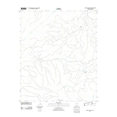
2011 Map of Odart Mountain
USGS Topo · Published 2011About this map
Odart Mountain stands as the primary topographic landmark in this remote corner of Apache County, where the landscape is defined by a dense network of watercourses and canyons. The drainage pattern is particularly striking, with the Big Bonito Creek and Little Bonito Creek systems carving through the northern terrain, while Tonto Creek meanders across the center toward Cozen Canyon. This 2011 survey captures the hydrological complexity of the high country, including high-elevation wetlands like Bull Creek Cienega.
Find a feature on this map
17 named features on this map. Tap any name to fly to it.
Don’t see what you’re looking for? This feature index may not catch every label — zoom into the map to look around manually.
Map Details
Editions of this 2011 Odart Mountain Map
This is the sole edition of this map. No revisions or reprints were ever made.
Other maps of this area

1954 · Clifton
USGS Topo · 1:250,000

1957 · Clifton
USGS Topo · 1:250,000

1958 · Clifton
USGS Topo · 1:250,000
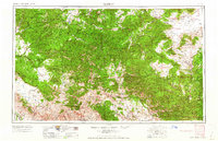
1962 · Clifton
USGS Topo · 1:250,000
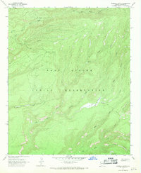
1967 · Marshall Butte
USGS Topo · 1:24,000
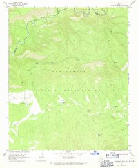
1967 · Freezeout Mountain
USGS Topo · 1:24,000
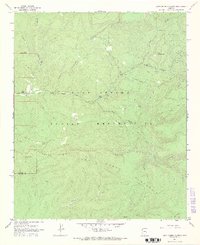
1967 · Corn Creek Plateau
USGS Topo · 1:24,000
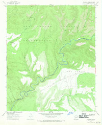
1967 · Maverick SW
USGS Topo · 1:24,000
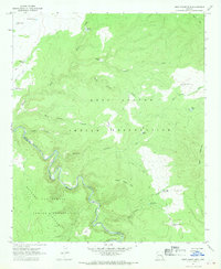
1967 · West Poker Mtn.
USGS Topo · 1:24,000
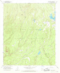
1967 · Bonito Rock
USGS Topo · 1:24,000