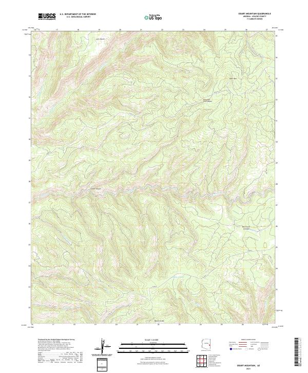
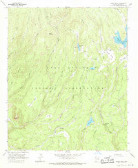
2021 Map of Odart Mountain
USGS Topo · Published 2021About this map
Odart Mtn and Maverick Mtn anchor the high-country landscape of the White Mountains in Apache County, where a network of seasonal and perennial streams defines the drainage patterns. This 2021 survey details the upper reaches of the Bonito Creek system, including Big Bonito Cr and Little Bonito Cr, alongside the distinct headwaters of Tonto Cr and Cienega Cr. The terrain is marked by significant topographical shifts between high plateaus like Lofer Bench and deep incisions such as Cozen Canyon and Mountain Lion Canyon.
Find a feature on this map
25 named features on this map. Tap any name to fly to it.
Don’t see what you’re looking for? This feature index may not catch every label — zoom into the map to look around manually.
Map Details
Editions of this 2021 Odart Mountain Map
This is the sole edition of this map. No revisions or reprints were ever made.
Other maps of this area

1954 · Clifton
USGS Topo · 1:250,000

1957 · Clifton
USGS Topo · 1:250,000

1958 · Clifton
USGS Topo · 1:250,000

1962 · Clifton
USGS Topo · 1:250,000

1967 · Marshall Butte
USGS Topo · 1:24,000

1967 · Freezeout Mountain
USGS Topo · 1:24,000
1967 · Corn Creek Plateau
USGS Topo · 1:24,000
1967 · Maverick SW
USGS Topo · 1:24,000
1967 · West Poker Mtn.
USGS Topo · 1:24,000
1967 · Bonito Rock
USGS Topo · 1:24,000