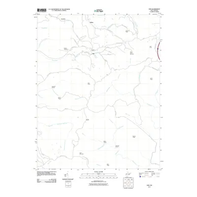
2011 Map of Odd
USGS Topo · Published 2011About this map
The community of Odd serves as a central point in this southern West Virginia landscape, anchored by the Odd Post Office near the confluence of Tommy Creek and Pines Creek. The terrain is defined by a dense network of high ridges and deep hollows, including the curiously named Indian Grave Mountain and the prominent Devils Backbone. Small, dispersed settlements like Egeria, Willibet, and Josephine are connected by winding mountain roads such as Odd Rd and Fireco-Willibet Rd, reflecting the region's traditional Appalachian settlement patterns.
Find a feature on this map
62 named features on this map. Tap any name to fly to it.
Don’t see what you’re looking for? This feature index may not catch every label — zoom into the map to look around manually.
Map Details
Editions of this 2011 Odd Map
This is the sole edition of this map. No revisions or reprints were ever made.
Other maps of this area

1887 · Pocahontas
USGS Topo · 1:125,000

1891 · Pocahontas
USGS Topo · 1:125,000

1891 · Raleigh
USGS Topo · 1:125,000

1894 · Pocahontas
USGS Topo · 1:125,000

1895 · Pocahontas
USGS Topo · 1:125,000

1897 · Raleigh
USGS Topo · 1:125,000

1902 · Raleigh
USGS Topo · 1:125,000

1909 · Pocahontas Special
USGS Topo · 1:48,000

1911 · Flattop
USGS Topo · 1:48,000

1911 · Pocahontas Special
USGS Topo · 1:62,500