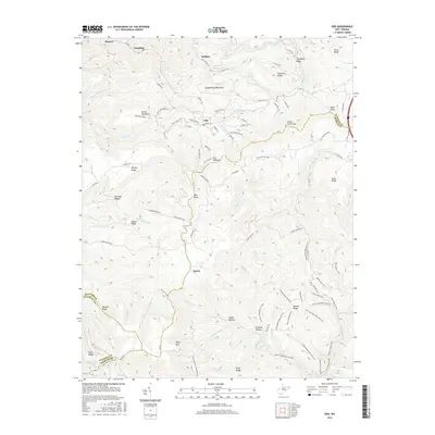
2016 Map of Odd
USGS Topo · Published 2016About this map
The community of Odd serves as a central point in this part of Southern West Virginia, where the high ridges of Guyandotte Mountain and Devils Backbone divide the landscape at the meeting of Raleigh, Mercer, and Wyoming counties. The terrain is deeply carved by watercourses like Tommy Cr and Barkers Cr, creating a network of hollows such as Richland Hollow and Schreder Hollow that have long defined the local geography and transportation routes.
Find a feature on this map
109 named features on this map. Tap any name to fly to it.
Don’t see what you’re looking for? This feature index may not catch every label — zoom into the map to look around manually.
Map Details
Editions of this 2016 Odd Map
This is the sole edition of this map. No revisions or reprints were ever made.
Other maps of this area

1887 · Pocahontas
USGS Topo · 1:125,000

1891 · Pocahontas
USGS Topo · 1:125,000

1891 · Raleigh
USGS Topo · 1:125,000

1894 · Pocahontas
USGS Topo · 1:125,000

1895 · Pocahontas
USGS Topo · 1:125,000

1897 · Raleigh
USGS Topo · 1:125,000

1902 · Raleigh
USGS Topo · 1:125,000

1909 · Pocahontas Special
USGS Topo · 1:48,000

1911 · Flattop
USGS Topo · 1:48,000

1911 · Pocahontas Special
USGS Topo · 1:62,500