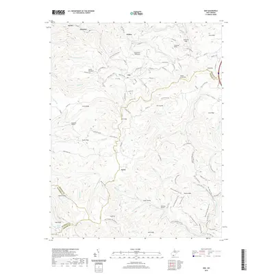
2019 Map of Odd
USGS Topo · Published 2019About this map
Odd and Egeria anchor this rugged Appalachian terrain at the junction of Raleigh, Mercer, and Wyoming counties. The landscape is defined by its complex ridge-and-hollow topography, where high elevations like Guyandotte Mountain and Indian Grave Mtn separate the headwaters of numerous creeks. The settlement pattern follows these narrow drainages, with small communities like Willibet, Josephine, and Besoco tucked into the valleys. Local landmarks such as the Mullins Farm and Howard Shrewsbury Spring offer specific touchpoints for family historians and genealogists researching the residents of these hollows.
Find a feature on this map
111 named features on this map. Tap any name to fly to it.
Don’t see what you’re looking for? This feature index may not catch every label — zoom into the map to look around manually.
Map Details
Editions of this 2019 Odd Map
This is the sole edition of this map. No revisions or reprints were ever made.
Other maps of this area

1887 · Pocahontas
USGS Topo · 1:125,000

1891 · Pocahontas
USGS Topo · 1:125,000

1891 · Raleigh
USGS Topo · 1:125,000

1894 · Pocahontas
USGS Topo · 1:125,000

1895 · Pocahontas
USGS Topo · 1:125,000

1897 · Raleigh
USGS Topo · 1:125,000

1902 · Raleigh
USGS Topo · 1:125,000

1909 · Pocahontas Special
USGS Topo · 1:48,000

1911 · Flattop
USGS Topo · 1:48,000

1911 · Pocahontas Special
USGS Topo · 1:62,500