
2011 Map of Odell Butte
USGS Topo · Published 2011About this map
The Little Deschutes River meanders through the central landscape of this Klamath County region, defining a corridor that includes the notable Halfway House landmark. This 2011 survey documents a mix of high-desert terrain and timberland, anchored by prominent volcanic features like Odell Butte and Black Rock Butte. The northern reaches are characterized by the flow of Crescent Creek near the Black Rock Ranch, while the southern area is marked by a complex network of forestry and service roads. These routes, including the Crescent Rd and various numbered branches such as Schoonover 12, reveal the infrastructure supporting regional land management and ranching. The presence of smaller waterways like Little Odell Creek further illustrates the drainage patterns that have historically shaped settlement and movement in this part of Oregon.
Find a feature on this map
18 named features on this map. Tap any name to fly to it.
Don’t see what you’re looking for? This feature index may not catch every label — zoom into the map to look around manually.
Map Details
Editions of this 2011 Odell Butte Map
This is the sole edition of this map. No revisions or reprints were ever made.
Other maps of this area
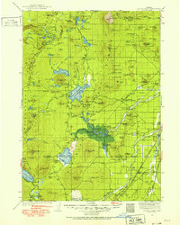
1930 · Maiden Peak
USGS Topo · 1:125,000
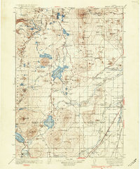
1934 · Maiden Peak
USGS Topo · 1:125,000
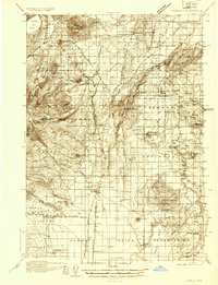
1935 · Chemult
USGS Topo · 1:96,000
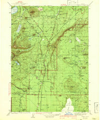
1941 · Chemult
USGS Topo · 1:125,000

1955 · Crescent
USGS Topo · 1:250,000

1957 · Crescent
USGS Topo · 1:250,000

1958 · Crescent
USGS Topo · 1:250,000
1963 · Hamner Butte
USGS Topo · 1:24,000
1963 · Odell Lake
USGS Topo · 1:24,000
1963 · Cryder Butte
USGS Topo · 1:24,000