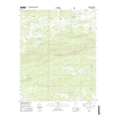
2017 Map of Oden
USGS Topo · Published 2017About this map
Oden sits at the northern edge of this Montgomery County landscape, where the Ouachita River winds through the valley floor before entering the Ouachita National Forest. The map reveals a deeply rooted rural settlement pattern defined by numerous small family and community burial grounds, such as Wilhite Cem, Gortemiller Cem, and Goodner Cem. These sites, often located near former settlements like Huddleston and Hog Jaw, provide critical landmarks for genealogical research in the Ouachita Mountains.
Find a feature on this map
56 named features on this map. Tap any name to fly to it.
Don’t see what you’re looking for? This feature index may not catch every label — zoom into the map to look around manually.
Map Details
Editions of this 2017 Oden Map
This is the sole edition of this map. No revisions or reprints were ever made.
Other maps of this area
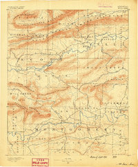
1890 · Mount Ida
USGS Topo · 1:125,000
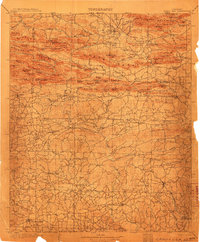
1906 · Caddo Gap
USGS Topo · 1:125,000
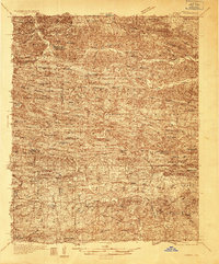
1936 · Athens
USGS Topo · 1:48,000
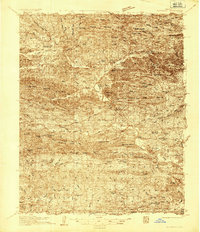
1936 · Glenwood
USGS Topo · 1:48,000
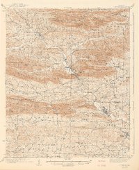
1942 · Glenwood
USGS Topo · 1:62,500
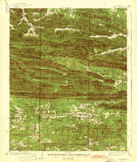
1942 · Athens
USGS Topo · 1:62,500
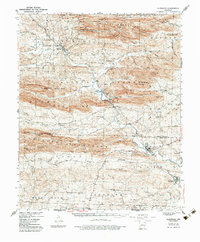
1949 · Glenwood
USGS Topo · 1:62,500
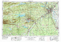
1955 · Little Rock
USGS Topo · 1:250,000
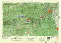
1956 · Little Rock
USGS Topo · 1:250,000
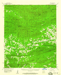
1959 · Oden
USGS Topo · 1:62,500