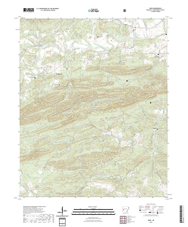
2024 Map of Oden
USGS Topo · Published 2024About this map
The Ouachita River snakes through the northern reach of this Montgomery County landscape, anchoring the settlement of Oden and the nearby Hog Jaw community. This modern survey reveals a region defined by its narrow valley floors and the towering ridges of the Ouachita National Forest, including Hog Jaw Mtn and Gaston Mountain. For genealogists, the map provides a comprehensive record of local burial sites, ranging from the Oden Cem near the river to the more remote Shirley Cem and Gortemiller Cem nestled along the forest fringes.
Find a feature on this map
57 named features on this map. Tap any name to fly to it.
Don’t see what you’re looking for? This feature index may not catch every label — zoom into the map to look around manually.
Map Details
Editions of this 2024 Oden Map
This is the sole edition of this map. No revisions or reprints were ever made.
Other maps of this area

1890 · Mount Ida
USGS Topo · 1:125,000

1906 · Caddo Gap
USGS Topo · 1:125,000

1936 · Athens
USGS Topo · 1:48,000

1936 · Glenwood
USGS Topo · 1:48,000

1942 · Glenwood
USGS Topo · 1:62,500

1942 · Athens
USGS Topo · 1:62,500

1949 · Glenwood
USGS Topo · 1:62,500

1955 · Little Rock
USGS Topo · 1:250,000

1956 · Little Rock
USGS Topo · 1:250,000

1959 · Oden
USGS Topo · 1:62,500