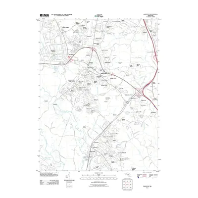
2011 Map of Odenton
USGS Topo · Published 2011About this map
Severn Run and the Patuxent River anchor this Maryland landscape, where suburban growth is interspersed with notable institutional and historic landmarks. The United States Naval Academy Dairy Farm occupies a significant tract south of Gambrills Post Office, reflecting the area's agricultural and military ties. Local history is deeply etched into the land through numerous burial grounds, including the Old Bethel Cemetery, Disney Cemetery, and Sulphur Springs Cemetery, which serve as vital markers for genealogical research.
Find a feature on this map
124 named features on this map. Tap any name to fly to it.
Don’t see what you’re looking for? This feature index may not catch every label — zoom into the map to look around manually.
Map Details
Editions of this 2011 Odenton Map
This is the sole edition of this map. No revisions or reprints were ever made.
Other maps of this area

1892 · Laurel
USGS Topo · 1:62,500

1892 · Owensville
USGS Topo · 1:62,500

1894 · Laurel
USGS Topo · 1:62,500

1894 · Relay
USGS Topo · 1:62,500

1895 · Owensville
USGS Topo · 1:62,500

1897 · Laurel
USGS Topo · 1:62,500

1899 · Patuxent
USGS Topo · 1:125,000

1900 · Washington
USGS Topo · 1:62,500

1905 · Owensville
USGS Topo · 1:62,500

1906 · Patuxent
USGS Topo · 1:125,000