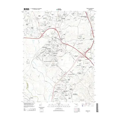
2014 Map of Odenton
USGS Topo · Published 2014About this map
The Fort Meade military installation and its surrounding residential expansions dominate this corridor of Anne Arundel County in the early twenty-first century. As the community of Odenton grew outward, it absorbed older landmarks and small family plots, including the Old Bethel Cem and Hammond Cem. The landscape is a complex network of established neighborhoods like Seven Oaks, Meade Heights, and Stillmeadow, interwoven with the preserved natural courses of Severn Run and the Little Patuxent River.
Find a feature on this map
139 named features on this map. Tap any name to fly to it.
Don’t see what you’re looking for? This feature index may not catch every label — zoom into the map to look around manually.
Map Details
Editions of this 2014 Odenton Map
This is the sole edition of this map. No revisions or reprints were ever made.
Other maps of this area

1892 · Laurel
USGS Topo · 1:62,500

1892 · Owensville
USGS Topo · 1:62,500

1894 · Laurel
USGS Topo · 1:62,500

1894 · Relay
USGS Topo · 1:62,500

1895 · Owensville
USGS Topo · 1:62,500

1897 · Laurel
USGS Topo · 1:62,500

1899 · Patuxent
USGS Topo · 1:125,000

1900 · Washington
USGS Topo · 1:62,500

1905 · Owensville
USGS Topo · 1:62,500

1906 · Patuxent
USGS Topo · 1:125,000