Loading...
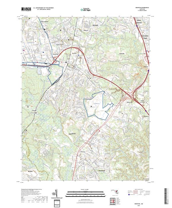
Loading map...2023 Map of Odenton
USGS Topo · Published 2023About this map
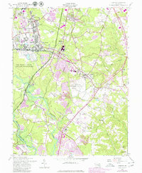
Fort Meade and the surrounding suburban expansion define this landscape in Anne Arundel County, where modern infrastructure meets long-standing local landmarks. The area is characterized by a dense network of residential developments like Meadedale, Mayfield, and Jackson Grove, interspersed with numerous historic burial grounds such as the Tank Corps Joe Graveste Cem and Our Lady of the Field Cem.
Find a feature on this map
50 named features on this map. Tap any name to fly to it.
Don’t see what you’re looking for? This feature index may not catch every label — zoom into the map to look around manually.
Map Details
Date Portrayed2023
Date Published2023
PublisherU.S. Geological Survey
Map TypeTopographic
Scale1:24000
Physical Dimensions24 x 29 inches
Editions of this 2023 Odenton Map
This is the sole edition of this map. No revisions or reprints were ever made.
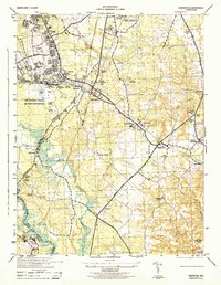
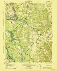
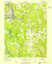
Historical Maps of Mallet Hill Through Time
5 maps found
Featured Locations
Source Details
SourceU.S. Geological Survey
CopyrightPublic Domain