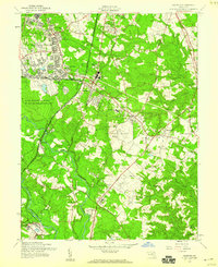
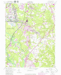
1957 Map of Odenton
USGS Topo · Published 1960About this map
Fort George G Meade and its expansive military reservation anchor the landscape of western Anne Arundel County in the late 1950s. This period shows a unique mix of mid-century infrastructure and established agrarian landmarks, including the large U S Naval Academy Dairy and the Bowie Race Track near the Patuxent River. The rail network of the Pennsylvania Railroad and Baltimore and Ohio Railroad converges at Odenton, illustrating the area's importance as a transportation hub. Local genealogy is well-served by numerous recorded burial sites like Disney Cem, Woodward Cem, and the Hospital Chapel Cem. The map further documents a community in transition through its social centers, from Arundel High Sch and Carver Sch to historical worship sites like St Johns Chapel and Mt Tabor Ch.
Find a feature on this map
52 named features on this map. Tap any name to fly to it.
Don’t see what you’re looking for? This feature index may not catch every label — zoom into the map to look around manually.
Map Details
Editions of this 1957 Odenton Map
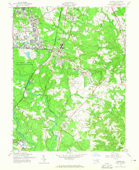
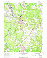
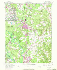
5 editions found
Other maps of this area

1892 · Laurel
USGS Topo · 1:62,500

1892 · Owensville
USGS Topo · 1:62,500

1894 · Laurel
USGS Topo · 1:62,500

1894 · Relay
USGS Topo · 1:62,500

1895 · Owensville
USGS Topo · 1:62,500

1897 · Laurel
USGS Topo · 1:62,500

1899 · Patuxent
USGS Topo · 1:125,000

1900 · Washington
USGS Topo · 1:62,500

1905 · Owensville
USGS Topo · 1:62,500

1906 · Patuxent
USGS Topo · 1:125,000