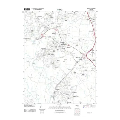
1957 Map of Odenton
USGS Topo · Published 1980About this map
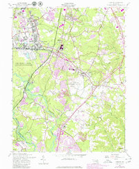
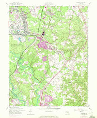
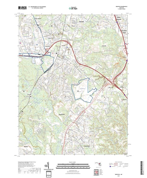
Fort George G Meade dominates the northwestern landscape of this mid-century topographic survey, showing the military reservation's extensive infrastructure alongside the burgeoning residential areas of Meade Heights and Meadedale. The central corridor is defined by the intersection of the Baltimore And Ohio and Conrail lines at Odenton, a junction that historically fueled the region's growth. South of the military grounds, the U S Naval Academy Dairy occupies a massive tract of land, preserving a significant open space between the expanding suburban developments of Crofton and the older crossroads of Gambrills. The map reveals a dense network of local heritage sites, including several small cemeteries like Hammond Cem and Waugh Cem, and country churches such as St Johns Chapel. Near the southern border, the Bowie Race Track and the Patuxent River Park indicate the area's transition toward recreational and regional parkland along the Little Patuxent River.
Find a feature on this map
67 named features on this map. Tap any name to fly to it.
Don’t see what you’re looking for? This feature index may not catch every label — zoom into the map to look around manually.
Map Details
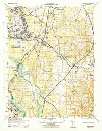
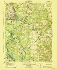
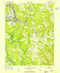
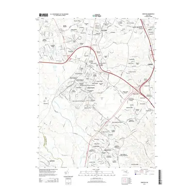
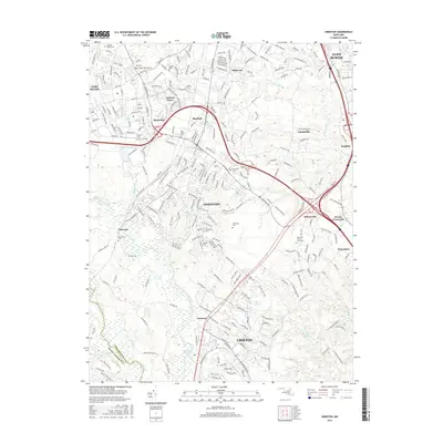
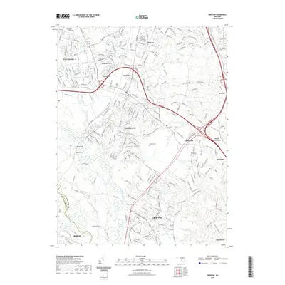
Editions of this 1957 Odenton Map
5 editions found
Historical Maps of Bowie Through Time
9 maps found
1944 Odenton
Anne Arundel County, MD
1946 Odenton
Anne Arundel County, MD
1949 Odenton
Anne Arundel County, MD
1957 Odenton
Anne Arundel County, MD
2011 Odenton
Anne Arundel County, MD
2014 Odenton
Anne Arundel County, MD
2016 Odenton
Anne Arundel County, MD
2019 Odenton
Anne Arundel County, MD
2023 Odenton
Anne Arundel County, MD