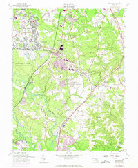
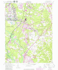
1957 Map of Odenton
USGS Topo · Published 1971About this map
Fort George G Meade anchors the northwestern portion of this mid-century landscape, a major military installation defined by extensive housing at Meade Heights and specialized facilities like the US Naval Academy Dairy. The map reveals a region in transition, where the historic rail crossroads of Odenton—served by both the Penn Central and Baltimore and Ohio railroads—meets the expanding residential developments of Crofton and Meadedale.
Find a feature on this map
58 named features on this map. Tap any name to fly to it.
Don’t see what you’re looking for? This feature index may not catch every label — zoom into the map to look around manually.
Map Details
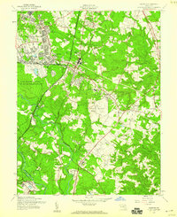
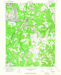
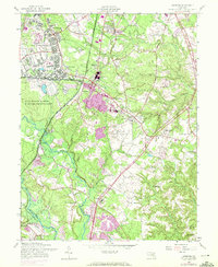
Editions of this 1957 Odenton Map
5 editions found
Other maps of this area

1892 · Laurel
USGS Topo · 1:62,500

1892 · Owensville
USGS Topo · 1:62,500

1894 · Laurel
USGS Topo · 1:62,500

1894 · Relay
USGS Topo · 1:62,500

1895 · Owensville
USGS Topo · 1:62,500

1897 · Laurel
USGS Topo · 1:62,500

1899 · Patuxent
USGS Topo · 1:125,000

1900 · Washington
USGS Topo · 1:62,500

1905 · Owensville
USGS Topo · 1:62,500

1906 · Patuxent
USGS Topo · 1:125,000