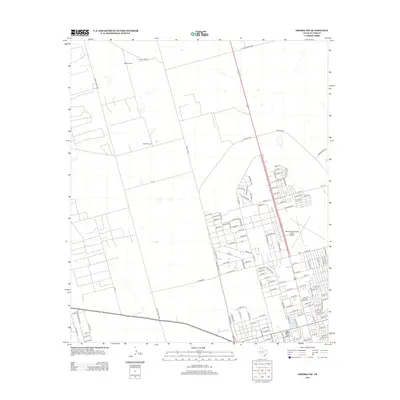
2013 Map of Odessa NW
USGS Topo · Published 2013About this map
The residential and industrial expansion of Odessa and Ector County during the early 21st century is captured here, showcasing a landscape transitioning from open ranchland to suburban development. The Odessa-Schlemeyer Field Airport serves as a major landmark, anchoring the transportation infrastructure alongside the heavy-duty bypass of NW Loop 338. To the west, the rural character of the Permian Basin remains visible through functional landmarks such as West Windmill and South Windmill, which are connected by a network of utility and access ways like Wire Line Rd. The grid of the city pushes outward with arterial roads like Ranch Road 1936 and W Yukon Rd framing new residential pockets. This survey documents the specific street names and infrastructure of the northwest fringe before further modernization altered the local topography.
Find a feature on this map
122 named features on this map. Tap any name to fly to it.
Don’t see what you’re looking for? This feature index may not catch every label — zoom into the map to look around manually.
Map Details
Editions of this 2013 Odessa NW Map
This is the sole edition of this map. No revisions or reprints were ever made.
Other maps of this area

1954 · Hobbs
USGS Topo · 1:250,000

1954 · Pecos
USGS Topo · 1:250,000

1957 · Pecos
USGS Topo · 1:250,000

1958 · Hobbs
USGS Topo · 1:250,000

1964 · Odessa NE
USGS Topo · 1:24,000

1964 · Odessa SW
USGS Topo · 1:24,000

1964 · Odessa NW
USGS Topo · 1:24,000

1964 · Odessa SE
USGS Topo · 1:24,000

1964 · Douro
USGS Topo · 1:24,000

1965 · Goldsmith
USGS Topo · 1:24,000