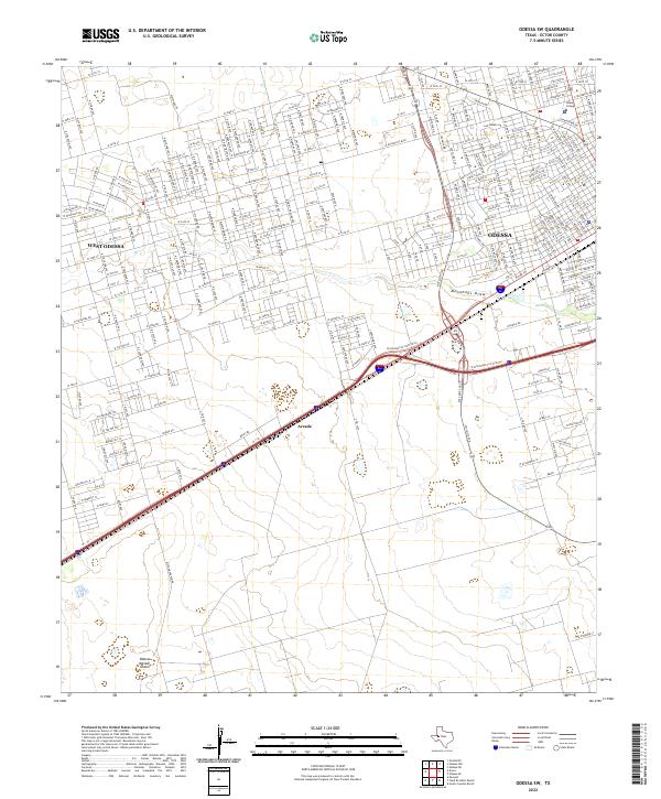
2022 Map of Odessa SW
USGS Topo · Published 2022About this map
The Odessa Meteor Crater defines the southwestern corner of this West Texas landscape, providing a clear look at one of the country's most significant impact sites. Reached via Meteor Crater Rd, this geological landmark sits in contrast to the rapid urban expansion spreading from the northeast. The map documents the residential and educational growth of Odessa and West Odessa, showing the dense network of streets including W University Blvd and W 42nd St.
Find a feature on this map
112 named features on this map. Tap any name to fly to it.
Don’t see what you’re looking for? This feature index may not catch every label — zoom into the map to look around manually.
Map Details
Editions of this 2022 Odessa SW Map
This is the sole edition of this map. No revisions or reprints were ever made.
Other maps of this area

1954 · Pecos
USGS Topo · 1:250,000

1957 · Pecos
USGS Topo · 1:250,000

1964 · Odessa NE
USGS Topo · 1:24,000

1964 · Odessa SW
USGS Topo · 1:24,000

1964 · Odessa NW
USGS Topo · 1:24,000

1964 · Odessa SE
USGS Topo · 1:24,000

1964 · Douro
USGS Topo · 1:24,000

1964 · Penwell
USGS Topo · 1:24,000

1964 · Clark Brothers Ranch
USGS Topo · 1:24,000

1965 · South Cowden Ranch
USGS Topo · 1:24,000