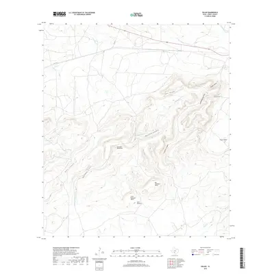
2019 Map of Odlaw
USGS Topo · Published 2019About this map
The Anacacho Mountains dominate the center of this Kinney County landscape, surrounded by a complex system of drainages and named valleys. The topography is defined by its seasonal water features and unique landform names, including the evocatively titled Hells Halfacre located just south of Little Fryingspan Valley. To the northeast, the larger Big Fryingspan Valley sits between the mountains and the various forks of Turkey Creek.
Find a feature on this map
23 named features on this map. Tap any name to fly to it.
Don’t see what you’re looking for? This feature index may not catch every label — zoom into the map to look around manually.
Map Details
Editions of this 2019 Odlaw Map
This is the sole edition of this map. No revisions or reprints were ever made.
Other maps of this area
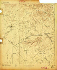
1896 · Brackett
USGS Topo · 1:125,000
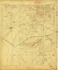
1897 · Brackett
USGS Topo · 1:125,000
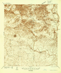
1938 · Turkey Mountain
USGS Topo · 1:48,000
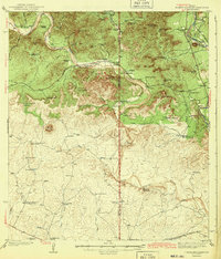
1943 · Turkey Mountain
USGS Topo · 1:62,500
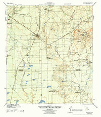
1944 · Spofford
USGS Topo · 1:62,500
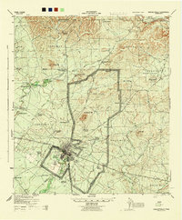
1944 · Brackettville
USGS Topo · 1:62,500
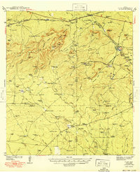
1949 · Cline
USGS Topo · 1:62,500
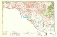
1958 · Del Rio
USGS Topo · 1:250,000
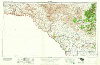
1964 · Del Rio
USGS Topo · 1:250,000
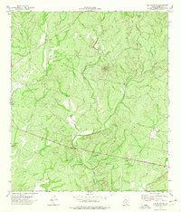
1974 · Elm Mountain
USGS Topo · 1:24,000