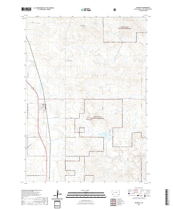
2021 Map of Oelrichs
USGS Topo · Published 2021About this map
The town of Oelrichs sits at the junction of modern and historic transit corridors in Fall River County, where the street grid including Elm St meets Old Hwy 79. This portion of the northern Great Plains is defined by the expansive Buffalo Gap National Grassland, a landscape of intermittent drainage and prominent rises. High points like Windy Butte and Limestone Butte overlook a network of seasonal watercourses, including Horsehead Cr and Lone Well Cr, which have historically dictated the placement of ranching infrastructure. Notable landmarks such as the Po in town and the Limestone Butte Reservoir provide specific points of interest for those studying the local civic and agricultural history of this South Dakota region.
Find a feature on this map
35 named features on this map. Tap any name to fly to it.
Don’t see what you’re looking for? This feature index may not catch every label — zoom into the map to look around manually.
Map Details
Editions of this 2021 Oelrichs Map
This is the sole edition of this map. No revisions or reprints were ever made.
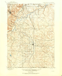
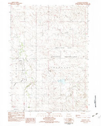
Historical Maps of Oelrichs Through Time
4 maps found