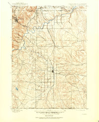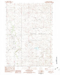
1982 Map of Oelrichs
USGS Topo · Published 1982About this map
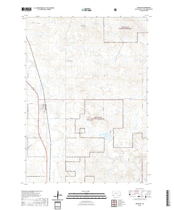
Oelrichs serves as the primary hub of this Fall River County landscape, positioned along the Chicago and North Western rail line and the corridor of Route 385. The geography is defined by the extensive Buffalo Gap National Grassland, where the terrain transitions through a series of drainage systems and prominent elevations. Significant topographic markers include Limestone Butte, Windy Butte, and the southern formation known as Slim Butte. Water courses such as Horsehead Creek and School Section Creek carve through the grassland, illustrating the natural drainage patterns that have historically shaped ranching and settlement in this portion of South Dakota. The presence of smaller localized names like Harmony and Robins points to the early social organization and rural districts that once dotted these plains.
Find a feature on this map
21 named features on this map. Tap any name to fly to it.
Don’t see what you’re looking for? This feature index may not catch every label — zoom into the map to look around manually.
Map Details
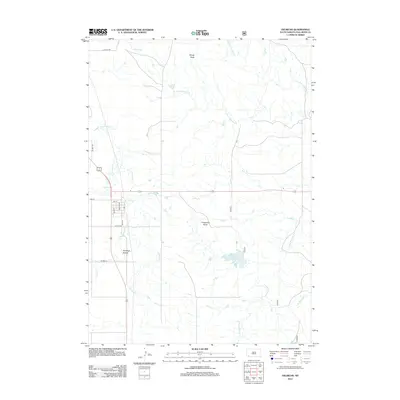
Editions of this 1982 Oelrichs Map
This is the sole edition of this map. No revisions or reprints were ever made.
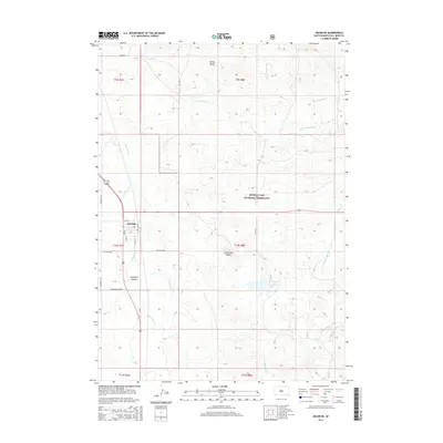
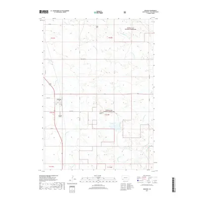
Historical Maps of Oelrichs Through Time
7 maps found