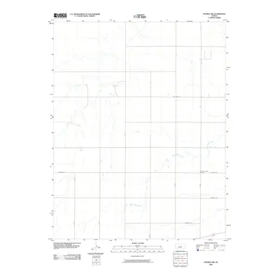
2009 Map of Offerle NW
USGS Topo · Published 2009About this map
White Woman Creek meanders across this rural expanse of Ford County, defining the drainage patterns of a landscape predominantly organized by the Public Land Survey System. The map reveals a strictly regulated grid of local roads, such as Antelope Rd and Pole Line Rd, which partition the territory into large agricultural sections. This layout reflects the late-20th and early-21st-century character of western Kansas, where the vast majority of the land is dedicated to open-field farming and ranching. Near the junction of several section lines lies the Old Saint Joseph Cemetery, a significant landmark for genealogical research that stands as a quiet focal point for the surrounding rural community. The absence of major urban centers emphasizes the region's historical reliance on the land and a transportation network of named routes like Backtrail Rd and Chestnut Rd.
Find a feature on this map
12 named features on this map. Tap any name to fly to it.
Don’t see what you’re looking for? This feature index may not catch every label — zoom into the map to look around manually.
Map Details
Editions of this 2009 Offerle NW Map
This is the sole edition of this map. No revisions or reprints were ever made.
Other maps of this area

1892 · Ness
USGS Topo · 1:125,000

1892 · Spearville
USGS Topo · 1:125,000

1894 · Spearville
USGS Topo · 1:125,000

1894 · Ness
USGS Topo · 1:125,000

1955 · Great Bend
USGS Topo · 1:250,000

1955 · Pratt
USGS Topo · 1:250,000

1957 · Great Bend
USGS Topo · 1:250,000

1958 · Great Bend
USGS Topo · 1:250,000

1959 · Pratt
USGS Topo · 1:250,000

1970 · Jetmore SE
USGS Topo · 1:24,000