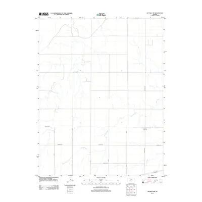
2012 Map of Offerle NW
USGS Topo · Published 2012About this map
Old Saint Joseph Cem sits as a quiet landmark within this expansive agricultural landscape of Ford County, Kansas. The area is defined by a grid-like network of rural roads such as Bellefont Rd and Pole Line Rd, which segment the terrain into wide sections of farmland. Water is a scarce but critical element here, marked by the winding paths of White Woman Cr and Little Coon Cr, which cut through the open country. These drainages provide the only significant variation in the local topography, indicating natural catchments in an otherwise highly organized and surveyed territory. The map illustrates a rural environment maintained through a systematic infrastructure of numbered routes like 128 Rd and named thoroughfares such as Antelope Rd and Backtrail Rd, connecting isolated homesteads and fields across the High Plains.
Find a feature on this map
13 named features on this map. Tap any name to fly to it.
Don’t see what you’re looking for? This feature index may not catch every label — zoom into the map to look around manually.
Map Details
Editions of this 2012 Offerle NW Map
This is the sole edition of this map. No revisions or reprints were ever made.
Other maps of this area

1892 · Ness
USGS Topo · 1:125,000

1892 · Spearville
USGS Topo · 1:125,000

1894 · Spearville
USGS Topo · 1:125,000

1894 · Ness
USGS Topo · 1:125,000

1955 · Great Bend
USGS Topo · 1:250,000

1955 · Pratt
USGS Topo · 1:250,000

1957 · Great Bend
USGS Topo · 1:250,000

1958 · Great Bend
USGS Topo · 1:250,000

1959 · Pratt
USGS Topo · 1:250,000

1970 · Jetmore SE
USGS Topo · 1:24,000