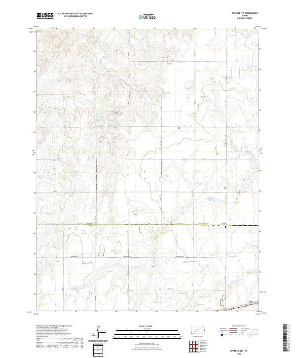
2022 Map of Offerle NW
USGS Topo · Published 2022About this map
Old Saint Joseph Cem sits near the southern boundary of Hodgeman County, serving as a quiet focal point in this high plains landscape. The terrain is defined by the ephemeral drainage patterns of White Woman Cr and Little Coon Cr, which wind through the agricultural sections. The survey details a strictly organized grid of rural routes, including Antelope Rd, Pole Line Rd, and Backtrail Rd, reflecting the systematic land division typical of western Kansas. This area, spanning the transition between Hodgeman Co and Ford Co, remains characterized by large-scale farming and the infrastructure of the Public Land Survey System, with township lines like t24s r21w clearly delineating the vast open country.
Find a feature on this map
18 named features on this map. Tap any name to fly to it.
Don’t see what you’re looking for? This feature index may not catch every label — zoom into the map to look around manually.
Map Details
Editions of this 2022 Offerle NW Map
This is the sole edition of this map. No revisions or reprints were ever made.
Other maps of this area

1892 · Ness
USGS Topo · 1:125,000

1892 · Spearville
USGS Topo · 1:125,000

1894 · Spearville
USGS Topo · 1:125,000

1894 · Ness
USGS Topo · 1:125,000

1955 · Great Bend
USGS Topo · 1:250,000

1955 · Pratt
USGS Topo · 1:250,000

1957 · Great Bend
USGS Topo · 1:250,000

1958 · Great Bend
USGS Topo · 1:250,000

1959 · Pratt
USGS Topo · 1:250,000

1970 · Jetmore SE
USGS Topo · 1:24,000