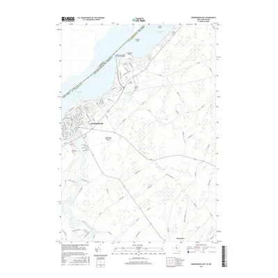
2016 Map of Ogdensburg East
USGS Topo · Published 2016About this map
Ogdensburg occupies a commanding position where the Oswegatchie River meets the Saint Lawrence River, serving as a vital international gateway connected to Canada by the Ogdensburg-Prescott International Bridge. This 2016 survey detail reveals a dense urban grid in the city's east end, where street names like Washington St, Franklin St, and Lafayette St intersect near the waterfront. To the south, the landscape transitions toward Heuvelton, characterized by agricultural fields and the winding paths of Tibbits Cr and Lisbon Creek. The sheet is particularly notable for its high concentration of funerary sites, including the clustered Saint Marys Cem, Notre Dame Cem, and Riverside Cem. Further inland, the Ogdensburg International Airport provides modern infrastructure, while the river is dotted with landforms such as Galop Island and Chimney Island, marking the maritime border.
Find a feature on this map
110 named features on this map. Tap any name to fly to it.
Don’t see what you’re looking for? This feature index may not catch every label — zoom into the map to look around manually.
Map Details
Editions of this 2016 Ogdensburg East Map
This is the sole edition of this map. No revisions or reprints were ever made.
Other maps of this area

1904 · Lisbon
USGS Topo · 1:48,000

1904 · Ogdensburg
USGS Topo · 1:62,500

1905 · Ogdensburg
USGS Topo · 1:62,500

1906 · Brier Hill
USGS Topo · 1:62,500

1906 · Red Mills
USGS Topo · 1:62,500

1943 · Ogdensburg East
USGS Topo · 1:31,680

1943 · Rensselaer Falls
USGS Topo · 1:31,680

1943 · Lisbon
USGS Topo · 1:31,680
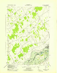
1943 · Red Mills
USGS Topo · 1:31,680
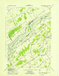
1943 · Sparrowhawk Point
USGS Topo · 1:31,680