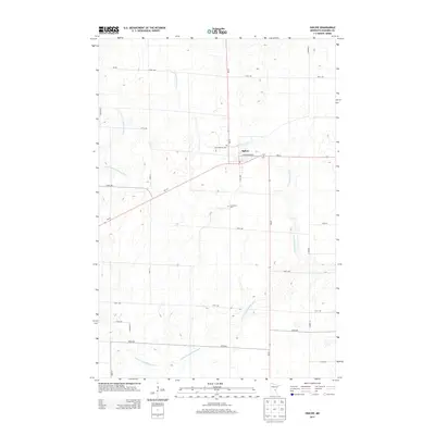
2013 Map of Ogilvie
USGS Topo · Published 2013About this map
Ogilvie stands at the intersection of MN-23 and MN-47, serving as a central hub for this portion of Kanabec County. The landscape is defined by the winding course of the Groundhouse River and its major tributary, the S Fork Groundhouse River, which meander through a grid-based network of rural roads and avenues. The placement of Saint Kathryn Cem and Graceland Cem near the town center provides specific points of interest for genealogists and local historians tracing families in the region.
Find a feature on this map
25 named features on this map. Tap any name to fly to it.
Don’t see what you’re looking for? This feature index may not catch every label — zoom into the map to look around manually.
Map Details
Editions of this 2013 Ogilvie Map
This is the sole edition of this map. No revisions or reprints were ever made.
Other maps of this area

1953 · Stillwater
USGS Topo · 1:250,000

1955 · Stillwater
USGS Topo · 1:250,000

1958 · Stillwater
USGS Topo · 1:250,000

1961 · Springvale
USGS Topo · 1:24,000

1961 · Dalbo
USGS Topo · 1:24,000

1961 · Dalbo
USGS Topo · 1:62,500

1965 · Stillwater
USGS Topo · 1:250,000

1968 · Milaca NE
USGS Topo · 1:24,000

1968 · Ann Lake
USGS Topo · 1:24,000

1968 · Mora North
USGS Topo · 1:24,000