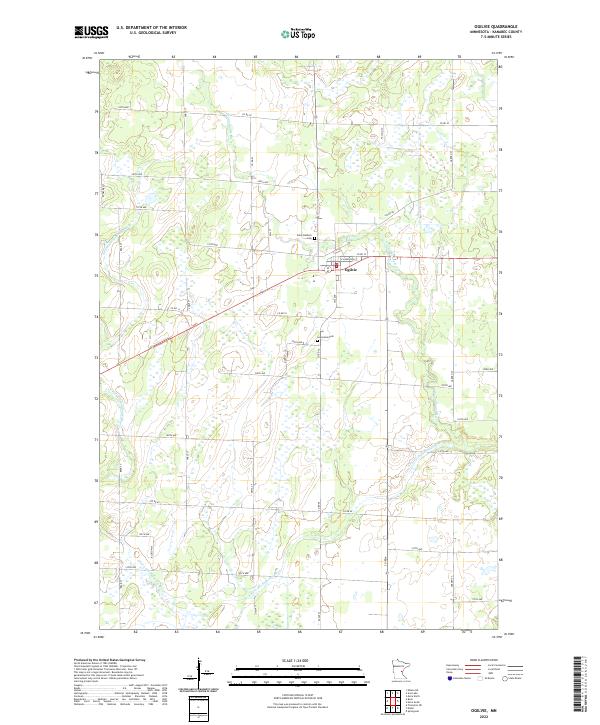
2022 Map of Ogilvie
USGS Topo · Published 2022About this map
The settlement of Ogilvie stands at the crossroads of the Kanabec County landscape, defined by a grid of rural avenues and the winding path of the Groundhouse River. This 2022 survey illustrates a region where local geography is tied to the water, with the S Fork Groundhouse River meandering through the southern sections. Genealogists and local historians will find significant landmarks on the town’s periphery, including Saint Kathryn Cem and Graceland Cem, which serve as quiet anchors for the community. The map's infrastructure is dominated by a systematic road network, from thoroughfares like Co Rd 10 and Co Rd 57 to long-stretching north-south connectors such as Garden St and Bear St. This layout reflects a modern agricultural and residential pattern established over decades in the Minnesota timber and dairy country.
Find a feature on this map
41 named features on this map. Tap any name to fly to it.
Don’t see what you’re looking for? This feature index may not catch every label — zoom into the map to look around manually.
Map Details
Editions of this 2022 Ogilvie Map
This is the sole edition of this map. No revisions or reprints were ever made.
Other maps of this area

1953 · Stillwater
USGS Topo · 1:250,000

1955 · Stillwater
USGS Topo · 1:250,000

1958 · Stillwater
USGS Topo · 1:250,000

1961 · Springvale
USGS Topo · 1:24,000

1961 · Dalbo
USGS Topo · 1:24,000

1961 · Dalbo
USGS Topo · 1:62,500

1965 · Stillwater
USGS Topo · 1:250,000

1968 · Milaca NE
USGS Topo · 1:24,000

1968 · Ann Lake
USGS Topo · 1:24,000

1968 · Mora North
USGS Topo · 1:24,000