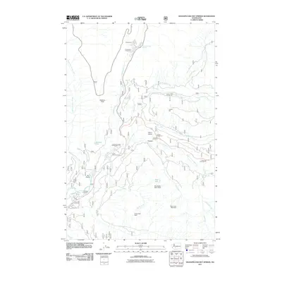
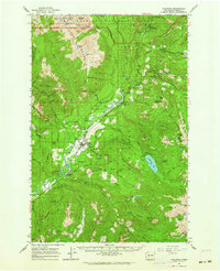
2011 Map of Ohanapecosh Hot Springs
USGS Topo · Published 2011About this map
Ohanapecosh Hot Springs anchors this high-elevation landscape where the Ohanapecosh River meets its many glacial tributaries. The area is defined by its recreation-heavy infrastructure, including a network of established sites like the Ohanapecosh Campground and La Wis Wis Campground. The topography is marked by significant vertical relief, from the heights of Coal Creek Mountain down to the floor of Ayance Canyon. Notable water features such as Grant Purcell Falls and Fish Ladder Falls suggest a landscape of dramatic drops and rapid flows. The presence of Big Bottom and the Huntington Berry Patch point to specific local landmarks that have long served as points of interest for visitors and locals navigating the rugged corridors between Backbone Ridge and Laurel Hill.
Find a feature on this map
40 named features on this map. Tap any name to fly to it.
Don’t see what you’re looking for? This feature index may not catch every label — zoom into the map to look around manually.
Map Details
Editions of this 2011 Ohanapecosh Hot Springs Map
This is the sole edition of this map. No revisions or reprints were ever made.
Other maps of this area
1902 · Mount Aix
USGS Topo · 1:125,000
1904 · Mt Aix
USGS Topo · 1:125,000
1924 · Mt Rainier
USGS Topo · 1:96,000
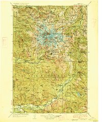
1928 · Mt Rainier
USGS Topo · 1:125,000

1950 · Yakima
USGS Topo · 1:250,000

1958 · Yakima
USGS Topo · 1:250,000
1961 · Yakima
USGS Topo · 1:250,000
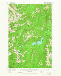
1962 · Bumping Lake
USGS Topo · 1:62,500
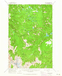
1962 · White Pass
USGS Topo · 1:62,500
1962 · Packwood
USGS Topo · 1:62,500