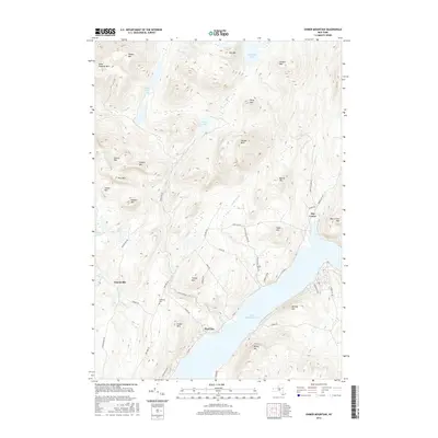
2016 Map of Ohmer Mountain
USGS Topo · Published 2016About this map
Great Sacandaga Lake dominates the southern landscape of this terrain, where the Adirondack foothills meet the northern reaches of the reservoir. The topography is defined by a dense series of peaks including Ohmer Mtn, Spruce Mtn, and Gene Edwards Mtn, with the high country draining into remote water bodies like Tenant Lake and Sand Lake.
Find a feature on this map
58 named features on this map. Tap any name to fly to it.
Don’t see what you’re looking for? This feature index may not catch every label — zoom into the map to look around manually.
Map Details
Editions of this 2016 Ohmer Mountain Map
This is the sole edition of this map. No revisions or reprints were ever made.
Other maps of this area

1899 · Broadalbin
USGS Topo · 1:62,500

1902 · Broadalbin
USGS Topo · 1:62,500

1902 · Saratoga
USGS Topo · 1:62,500

1903 · Luzerne
USGS Topo · 1:62,500

1910 · Stony Creek
USGS Topo · 1:62,500

1942 · Saratoga
USGS Topo · 1:62,500

1945 · Edinburg
USGS Topo · 1:24,000

1945 · Northville
USGS Topo · 1:24,000
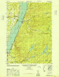
1946 · Edinburg
USGS Topo · 1:24,000
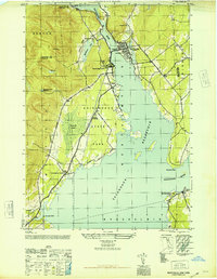
1946 · Northville
USGS Topo · 1:24,000