
2019 Map of Ohmer Mountain
USGS Topo · Published 2019About this map
Great Sacandaga Lake dominates the southern reaches of this Saratoga County landscape, its shorelines traced by S Shore Rd and Rte 7. The terrain transitions from the water’s edge into a dense network of peaks including Ohmer Mtn, Ryther Mtn, and Cobble Mtn. Settlement is concentrated along the river valleys and lakefronts, with West Day and Day Center serving as primary local hubs. To the west, the community of Tenantville sits near the winding course of Beecher Cr.
Find a feature on this map
58 named features on this map. Tap any name to fly to it.
Don’t see what you’re looking for? This feature index may not catch every label — zoom into the map to look around manually.
Map Details
Editions of this 2019 Ohmer Mountain Map
This is the sole edition of this map. No revisions or reprints were ever made.
Other maps of this area

1899 · Broadalbin
USGS Topo · 1:62,500

1902 · Broadalbin
USGS Topo · 1:62,500

1902 · Saratoga
USGS Topo · 1:62,500

1903 · Luzerne
USGS Topo · 1:62,500

1910 · Stony Creek
USGS Topo · 1:62,500

1942 · Saratoga
USGS Topo · 1:62,500

1945 · Edinburg
USGS Topo · 1:24,000

1945 · Northville
USGS Topo · 1:24,000
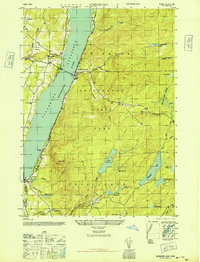
1946 · Edinburg
USGS Topo · 1:24,000
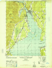
1946 · Northville
USGS Topo · 1:24,000