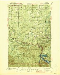
1944 Map of Ohop Valley
USGS Topo · Published 1944About this map
Eatonville serves as the focal point of this wartime survey, situated at the confluence of the Ohop Creek and Mashel River valleys. The landscape is a transition between the Fort Lewis Military Reservation in the northwest and the deep woods of the Snoqualmie National Forest in the southeast. Industrial and educational footprints are evident through the presence of timber-related sites like the Weyerhauser Sch and the Pack Demonstration Forest.
Find a feature on this map
85 named features on this map. Tap any name to fly to it.
Don’t see what you’re looking for? This feature index may not catch every label — zoom into the map to look around manually.
Map Details
Editions of this 1944 Ohop Valley Map
This is the sole edition of this map. No revisions or reprints were ever made.
Other maps of this area

1897 · Tacoma
USGS Topo · 1:125,000

1900 · Tacoma
USGS Topo · 1:125,000
1916 · Chehalis
USGS Topo · 1:125,000
1937 · Eatonville
USGS Topo · 1:125,000
1940 · Anderson Island
USGS Topo · 1:62,500
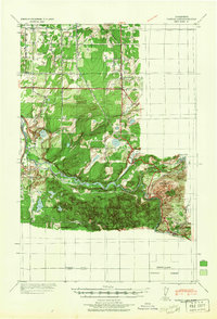
1941 · Tanwax Lake
USGS Topo · 1:62,500

1941 · Tacoma South
USGS Topo · 1:62,500
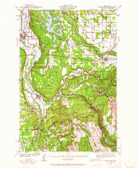
1942 · Lake Tapps
USGS Topo · 1:62,500
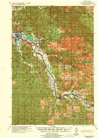
1943 · Willapa
USGS Topo · 1:62,500
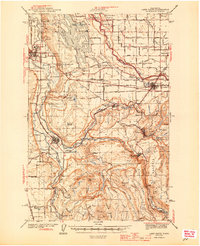
1944 · Lake Tapps
USGS Topo · 1:62,500