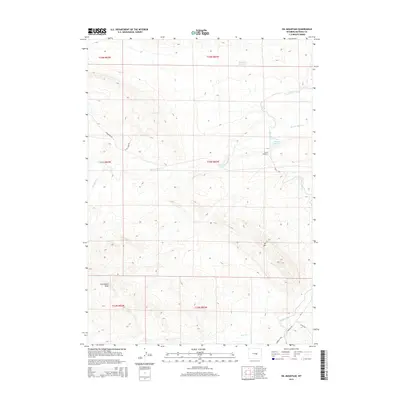
2015 Map of Oil Mountain
USGS Topo · Published 2015About this map
Oil Mtn serves as the dominant high point in this central Wyoming landscape, where high-plains drainage patterns and early irrigation infrastructure converge. The intricate path of the Casper Canal is visible as it winds through the terrain, featuring engineering landmarks like Tunnel Number 5 to move water across the arid basins. This 2015 update documents a mix of historic transit routes and modern access, notably where the ancient path of the Oregon Trail skirts the southern drainage of Iron Creek. The map details the network of seasonal waterways such as Poison Spider Creek and Meadow Creek, as well as small-scale storage at Johnson Reservoir and Blue Bank Reservoir. Local road names like W Oil Camp Rd and Strohecker Rd provide modern context for the longstanding ranching and resource-extraction heritage of Natrona County.
Find a feature on this map
21 named features on this map. Tap any name to fly to it.
Don’t see what you’re looking for? This feature index may not catch every label — zoom into the map to look around manually.
Map Details
Editions of this 2015 Oil Mountain Map
This is the sole edition of this map. No revisions or reprints were ever made.
Other maps of this area
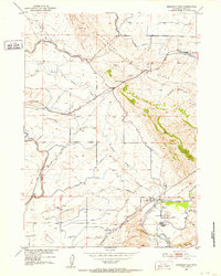
1950 · Emigrant Gap
USGS Topo · 1:24,000
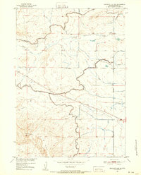
1950 · Emigrant Gap NE
USGS Topo · 1:24,000
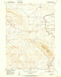
1951 · Oil Mountain
USGS Topo · 1:24,000
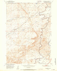
1951 · Clarkson Hill
USGS Topo · 1:24,000
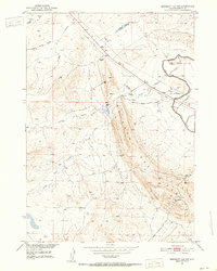
1951 · Emigrant Gap NW
USGS Topo · 1:24,000
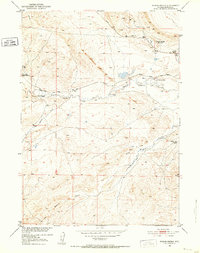
1951 · Poison Spider
USGS Topo · 1:24,000
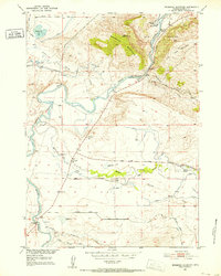
1951 · Bessemer Mountain
USGS Topo · 1:24,000
1951 · Benton Basin NE
USGS Topo · 1:24,000
1951 · Reid Canyon
USGS Topo · 1:24,000

1955 · Casper
USGS Topo · 1:250,000