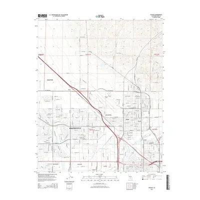
2015 Map of Oildale
USGS Topo · Published 2015About this map
The Kern River corridor and the industrial north of Bakersfield dominate this mid-2010s survey, revealing a landscape defined by water management and transit. Significant irrigation infrastructure, including the Beardsley Canal, Calloway Canal, and the Cross Valley Canal, underscores the agricultural and industrial requirements of the San Joaquin Valley. This era shows the continued integration of historic rail hubs and aviation centers, with Meadows Field situated near the intersection of major routes like the Golden State Hwy.
Find a feature on this map
120 named features on this map. Tap any name to fly to it.
Don’t see what you’re looking for? This feature index may not catch every label — zoom into the map to look around manually.
Map Details
Editions of this 2015 Oildale Map
This is the sole edition of this map. No revisions or reprints were ever made.
Other maps of this area

1906 · Bakersfield
USGS Topo · 1:62,500

1910 · Buena Vista Lake
USGS Topo · 1:125,000

1912 · Buena Vista Lake
USGS Topo · 1:125,000

1914 · Caliente
USGS Topo · 1:125,000

1929 · Stevens
USGS Topo · 1:31,680

1929 · Fairfax School
USGS Topo · 1:31,680

1930 · Famoso
USGS Topo · 1:31,680

1930 · Rosedale
USGS Topo · 1:31,680

1930 · Oildale
USGS Topo · 1:31,680

1932 · North of Oildale
USGS Topo · 1:31,680