2022 Map of Oildale
USGS Topo · Published 2022About this map
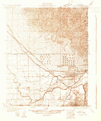
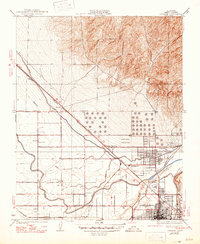
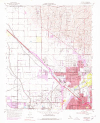
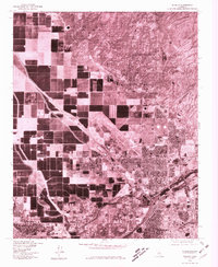
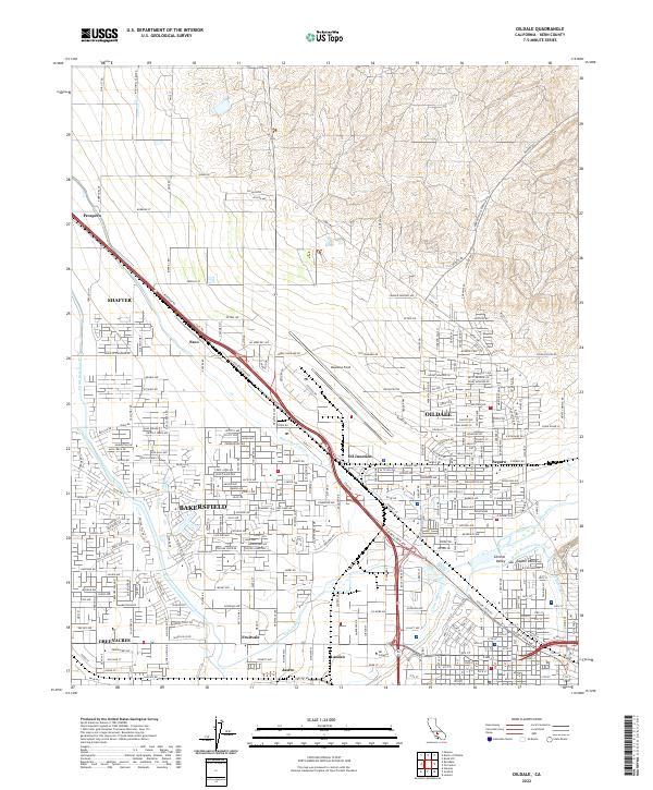
Meadows Field stands as a central hub in this modern survey of the northern Bakersfield area, where industrial infrastructure meets the suburban expansion of the San Joaquin Valley. The map documents a complex water management system essential to the region, featuring the Kern River and an intricate network of man-made waterways including the Friant-Kern Canal, Calloway Canal, and Cross Valley Canal. Settlement patterns are defined by historic names such as Oildale, Fruitvale, and Saco, which sit alongside established transit corridors like the Golden State Hwy and the Southern Pacific RR. The transition from the dense residential grids of Greenacres to the industrial zones around Oil Junction and Seguro highlights the area's dual identity as both a petroleum production center and a growing residential community.
Find a feature on this map
91 named features on this map. Tap any name to fly to it.
Don’t see what you’re looking for? This feature index may not catch every label — zoom into the map to look around manually.
Map Details
Editions of this 2022 Oildale Map
This is the sole edition of this map. No revisions or reprints were ever made.
Historical Maps of The Polo Greens Through Time
5 maps found