Loading...
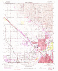
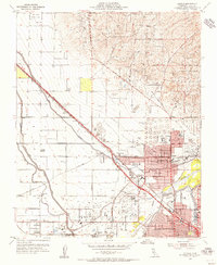
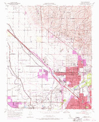
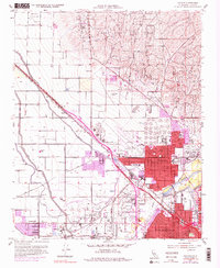
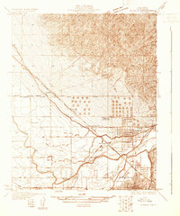
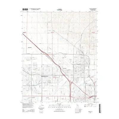
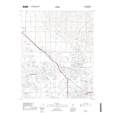
Loading map...1954 Map of Oildale
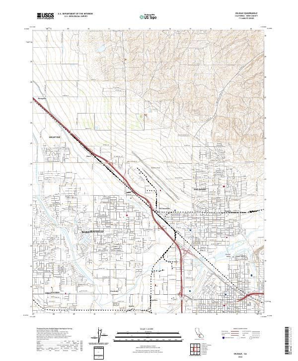
USGS Topo · Published 1979About this map
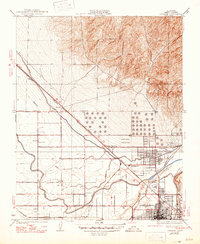
The Kern River Oil Field, Kern Front Oil Field, and Poso Creek Oil Field dominate this mid-century landscape north of Bakersfield, reflecting the intensive petroleum extraction that fueled the regional economy. The settlement of Oildale is depicted as a dense industrial and residential hub, characterized by massive Oil Tanks and several educational institutions including Standard Sch and North High Sch.
Find a feature on this map
45 named features on this map. Tap any name to fly to it.
Don’t see what you’re looking for? This feature index may not catch every label — zoom into the map to look around manually.
Map Details
Date Portrayed1954
Date Published1979
PublisherU.S. Geological Survey
Map TypeTopographic
Scale1:24,000
Physical Dimensions22 x 27 inches
Editions of this 1954 Oildale Map
4 editions found
Historical Maps of Bakersfield Through Time
8 maps found
Featured Locations
Source Details
SourceU.S. Geological Survey
CopyrightPublic Domain