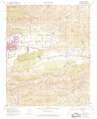
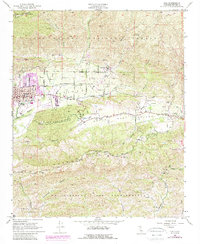
1952 Map of Ojai
USGS Topo · Published 1968About this map
Ojai serves as the focal point of this mid-century landscape, anchored by its City Hall and the Nordhoff Union School. The valley floor is defined by a distinct educational and agricultural character, home to the Thacher School and the San Antonio Sch, with the town center showing expansion toward Grand Ave and Foothill Road. The Southern Pacific rail line terminates near the urban core, marking the edge of the residential district before the terrain rises into the canyons of the Los Padres National Forest.
Find a feature on this map
36 named features on this map. Tap any name to fly to it.
Don’t see what you’re looking for? This feature index may not catch every label — zoom into the map to look around manually.
Map Details
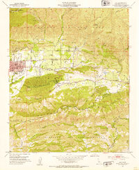
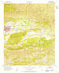
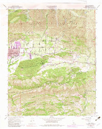
Editions of this 1952 Ojai Map
5 editions found
Other maps of this area

1903 · Santa Paula
USGS Topo · 1:62,500

1903 · Mt. Pinos
USGS Topo · 1:125,000

1904 · Ventura
USGS Topo · 1:62,500

1941 · Ventura
USGS Topo · 1:62,500

1942 · Santa Paula
USGS Topo · 1:62,500

1942 · Wheeler Springs
USGS Topo · 1:24,000

1943 · Topatopa Mountains
USGS Topo · 1:24,000

1943 · Lion Canyon
USGS Topo · 1:24,000

1943 · Wheeler Springs
USGS Topo · 1:24,000
1944 · Wheeler Springs
USGS Topo · 1:31,680