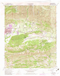
1952 Map of Ojai
USGS Topo · Published 1983About this map
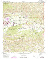
The Ojai Valley is captured here during the mid-twentieth century, showcasing a transition from a rural agricultural landscape toward suburban development. The city of Ojai is the focal point, served by the Southern Pacific railroad and surrounded by citrus orchards and sprawling ranches. Educational institutions are prominent markers of the local culture, including the Nordhoff Union School, Thacher School, and San Antonio Sch. This geography is defined by its dramatic relief, bordered to the north by the peaks of the Los Padres National Forest, such as Nordhoff Pk on the Nordhoff Ridge, and to the south by the extensive Sulphur Mountain. The map also delineates the historic boundaries of Ex Mission San Buenaventura and Cañada Larga o Verde, reflecting the region's Spanish land grant heritage. Numerous canyons, including Gridley Canyon and Senior Canyon, channel water toward San Antonio Creek.
Find a feature on this map
33 named features on this map. Tap any name to fly to it.
Don’t see what you’re looking for? This feature index may not catch every label — zoom into the map to look around manually.
Map Details
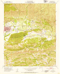
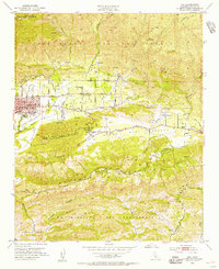
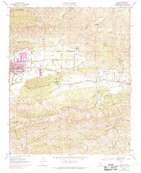
Editions of this 1952 Ojai Map
5 editions found
Other maps of this area

1903 · Santa Paula
USGS Topo · 1:62,500

1903 · Mt. Pinos
USGS Topo · 1:125,000

1904 · Ventura
USGS Topo · 1:62,500

1941 · Ventura
USGS Topo · 1:62,500

1942 · Santa Paula
USGS Topo · 1:62,500

1942 · Wheeler Springs
USGS Topo · 1:24,000

1943 · Topatopa Mountains
USGS Topo · 1:24,000

1943 · Lion Canyon
USGS Topo · 1:24,000

1943 · Wheeler Springs
USGS Topo · 1:24,000
1944 · Wheeler Springs
USGS Topo · 1:31,680