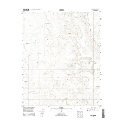
2013 Map of Ojito Spring
USGS Topo · Published 2013About this map
Marquez Ranch and the isolated settlement at Los Posos anchor this high-desert landscape in Sandoval County, defined by a complex network of ephemeral drainages and dramatic geological features. The topography is dominated by the broad Rio Salado and the elevated plateaus of Cucho Mesa and Bernalillito Mesa. These landforms dictate the passage of water through systems like Arroyo Bernalillito and Arroyo Cucho, while smaller seasonal water sources such as Ojito Spring, Ojito Tank, and Peñasco Tank highlight the critical role of water management for local ranching operations.
Find a feature on this map
23 named features on this map. Tap any name to fly to it.
Don’t see what you’re looking for? This feature index may not catch every label — zoom into the map to look around manually.
Map Details
Editions of this 2013 Ojito Spring Map
This is the sole edition of this map. No revisions or reprints were ever made.
Other maps of this area
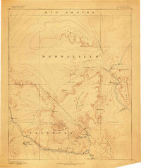
1883 · Mt. Taylor
USGS Topo · 1:250,000
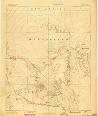
1886 · Mt. Taylor
USGS Topo · 1:250,000
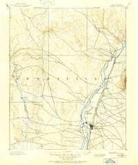
1888 · Bernalillo
USGS Topo · 1:125,000
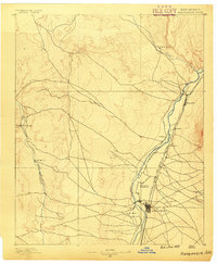
1889 · Albuquerque
USGS Topo · 1:125,000
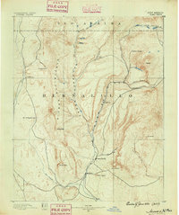
1890 · Jemes
USGS Topo · 1:125,000
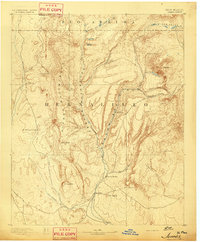
1892 · Jemes
USGS Topo · 1:125,000
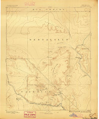
1892 · Mt. Taylor
USGS Topo · 1:250,000
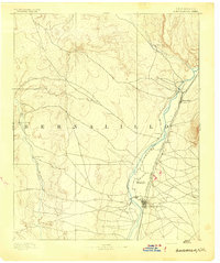
1893 · Albuquerque
USGS Topo · 1:125,000
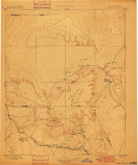
1899 · Mt. Taylor
USGS Topo · 1:250,000
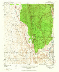
1939 · San Ysidro
USGS Topo · 1:62,500