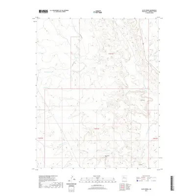
2020 Map of Ojito Spring
USGS Topo · Published 2020About this map
Ojito Spring and Ojito Tank serve as vital water points in this arid expanse of Sandoval County, where a network of ephemeral drainage channels defines the local geography. The landscape is characterized by prominent elevated landforms such as Cucho Mesa and Bernalillito Mesa, which rise above a complex system of dry washes including Arroyo Cucho, Arroyo Bernalillito, and Marquez Wash. This 2020 survey illustrates a region largely defined by its natural topography rather than dense settlement, though human presence is marked by infrastructure like Indian Svc Rte 3 and Ridge Rd 113. The hydrologic pattern is anchored by the Rio Salado and Cuchilla Arroyo in the northeast, showing how seasonal water flow has historically shaped movement through this high-desert environment.
Find a feature on this map
22 named features on this map. Tap any name to fly to it.
Don’t see what you’re looking for? This feature index may not catch every label — zoom into the map to look around manually.
Map Details
Editions of this 2020 Ojito Spring Map
This is the sole edition of this map. No revisions or reprints were ever made.
Other maps of this area
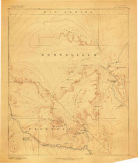
1883 · Mt. Taylor
USGS Topo · 1:250,000
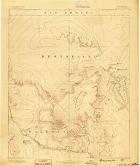
1886 · Mt. Taylor
USGS Topo · 1:250,000
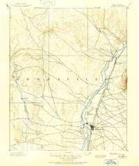
1888 · Bernalillo
USGS Topo · 1:125,000
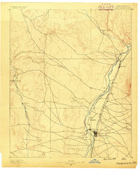
1889 · Albuquerque
USGS Topo · 1:125,000
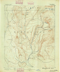
1890 · Jemes
USGS Topo · 1:125,000
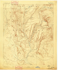
1892 · Jemes
USGS Topo · 1:125,000
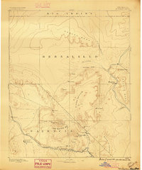
1892 · Mt. Taylor
USGS Topo · 1:250,000
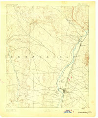
1893 · Albuquerque
USGS Topo · 1:125,000
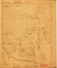
1899 · Mt. Taylor
USGS Topo · 1:250,000
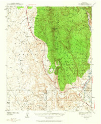
1939 · San Ysidro
USGS Topo · 1:62,500