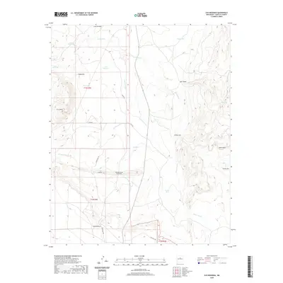
2020 Map of Ojo Hedionda
USGS Topo · Published 2020About this map
Ojo Hedionda and the small settlements of Chapatalito and Loma Montosa define this high-desert landscape in Santa Fe County. This modern survey illustrates a network of ranch roads and water infrastructure essential for the arid environment, including Horse Shoe Tank, La Jara Tank, and Coyote Tank. The terrain is characterized by dramatic elevation changes, notably at the White Bluffs and the distinctive peak of Cerro Pelon. A sophisticated drainage system is visible through the branching paths of the Arroyo Jara and Gaviso Arroyo, which carve through the land alongside Hub Canyon. Historical land management is evident through the Township and Range lines, marking areas like t13n r9e and t12n r9e. Local travel is dictated by routes such as Zorro Ranch Rd and Pine Ranch Rd, which connect the isolated homesteads and geographic landmarks across the high plains and canyons.
Find a feature on this map
27 named features on this map. Tap any name to fly to it.
Don’t see what you’re looking for? This feature index may not catch every label — zoom into the map to look around manually.
Map Details
Editions of this 2020 Ojo Hedionda Map
This is the sole edition of this map. No revisions or reprints were ever made.
Other maps of this area
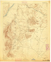
1892 · San Pedro
USGS Topo · 1:125,000
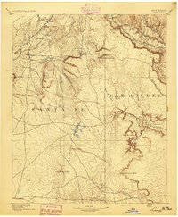
1894 · Lamy
USGS Topo · 1:125,000
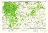
1954 · Santa Fe
USGS Topo · 1:250,000
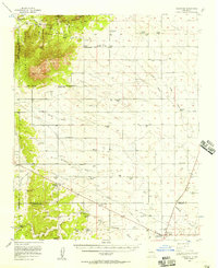
1956 · Edgewood
USGS Topo · 1:62,500
1958 · Santa Fe
USGS Topo · 1:250,000
1958 · Albuquerque
USGS Topo · 1:250,000
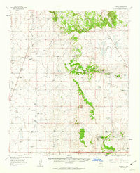
1960 · Stanley
USGS Topo · 1:62,500
1961 · Madrid
USGS Topo · 1:62,500
1962 · Albuquerque
USGS Topo · 1:250,000
1963 · Albuquerque
USGS Topo · 1:250,000