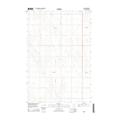
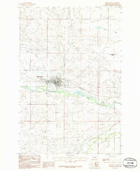
2014 Map of Oka
USGS Topo · Published 2014About this map
Roberts Cr and Antelope Cr define the drainage of this interior Montana landscape, carving through a region defined by established township boundaries including t10n r15e and t9n r15e. The presence of the Lode Reservoir in the western portion of the quadrangle suggests localized water management in an area otherwise dominated by seasonal stream beds like Alkali Cr. A sparse network of rural routes, including Oka Rd and Old Gap Rd, provides the primary infrastructure for the area north of the Judith Gap. This 2014 survey by the U.S. Geological Survey illustrates the intersection of public land survey systems and natural watercourses, capturing the physical layout of the Wheatland County territory before further modern development modified these rural ranching and watershed patterns.
Find a feature on this map
12 named features on this map. Tap any name to fly to it.
Don’t see what you’re looking for? This feature index may not catch every label — zoom into the map to look around manually.
Map Details
Editions of this 2014 Oka Map
This is the sole edition of this map. No revisions or reprints were ever made.
Other maps of this area
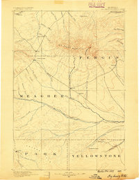
1889 · Big Snowy Mountain
USGS Topo · 1:250,000
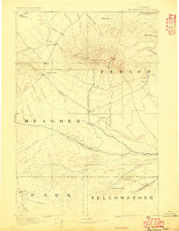
1893 · Big Snowy Mountain
USGS Topo · 1:250,000

1954 · Roundup
USGS Topo · 1:250,000

1958 · Roundup
USGS Topo · 1:250,000
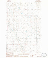
1986 · Oka
USGS Topo · 1:24,000
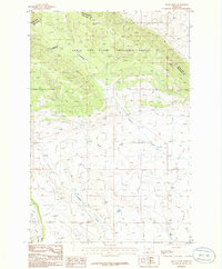
1986 · Mead Creek
USGS Topo · 1:24,000
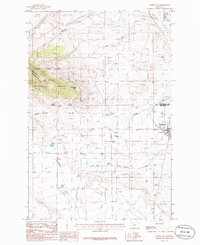
1986 · Judith Gap
USGS Topo · 1:24,000
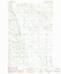
1986 · Hopley Creek North
USGS Topo · 1:24,000
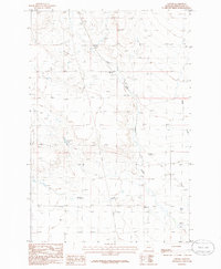
1986 · Oxford
USGS Topo · 1:24,000
1986 · Harlowton
USGS Topo · 1:24,000